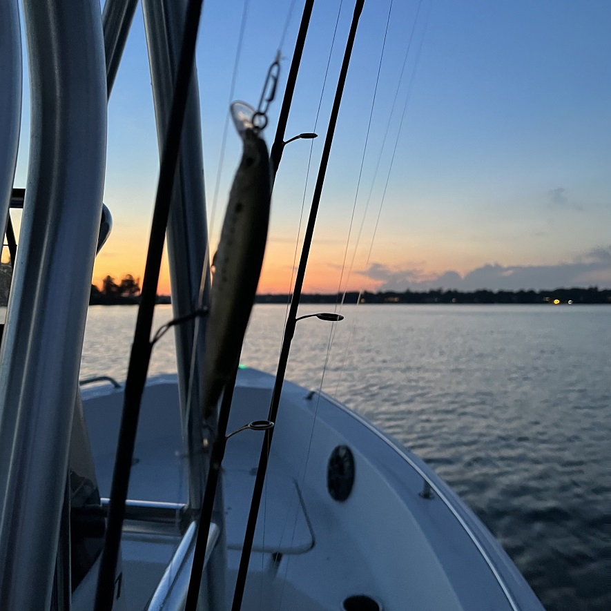
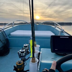
Welcome to the Weekly Creel, a compilation of regional news and announcements for anglers and outdoor enthusiasts of the Chesapeake Bay region. Please email us directly at editor@reelchesapeake.com to have your organization’s news item or event listing considered for next week’s column. Per usual, here are direct links to the lastest, local fishing reports from Reel Chesapeake, On The Water, Maryland Department of Natural Resources, Anglers Sports Center, and FishTalk Magazine. The leading photograph (above): Summer, sunset fishing on Round Bay, Severn River, Maryland. Photo by yours truly.
Last Chance to Comment on Menhaden Reduction Petition
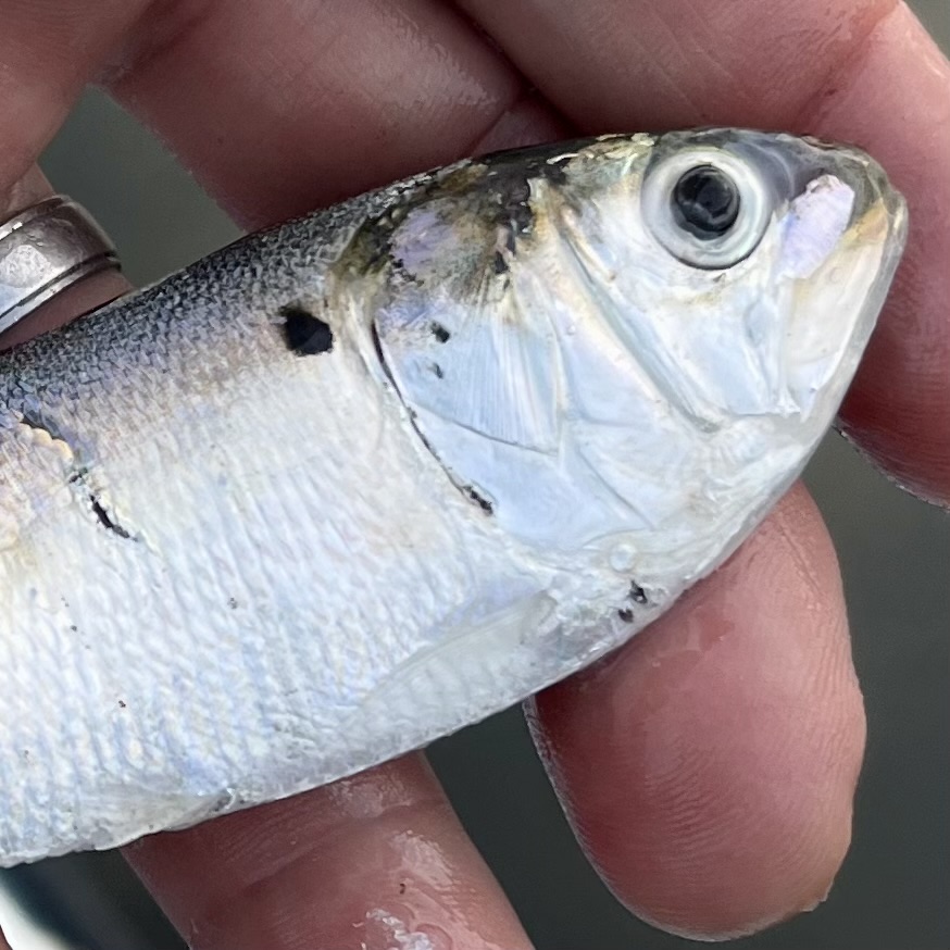
This item comes as late news to us, but we’re sure glad to come across it, thanks to the American Saltwater Guides Association. The long and short of it—Virginia has established an online petition and comment period, which ends August 21st, calling for the establishment of new menhaden fishery regulations specific to the proper use of purse seine nets in shallow water (60′ and less). Basically, the menhaden reduction fishery in Virginia operates with purse seine nets that capture and entrap thousands of pound of the fish. Bycatch—stripers, drum, catfish, any fish larger than menhaden—is theoretically allowed to escape through an opening in the net’s bottom. But when these nets are deployed in water 60′ deep or less, that opening rests directly on the Bay’s bottom, which not only prevents bycatch escape, it disturbs the bottom habitat.
The petition claims that Omega Protein, the defacto harvester of menhaden, has violated the “Safety Zone” specifically outlined in the Marine Stewardship Council (MSC), of which Omega Protein is an accredited member of. According to petitioner Bill Dunn, the goal is to empower “VMRC [to] implement regulations of the depth of these purse seine nets within the shallow waters of Virginia’s Chesapeake Bay and offshore waters to meet the purse sein net design criterion in order to provide no contact with the seabed in order to eliminate these issues.” Learn more (quickly) and have your voice heard at the Commonwealth’s official page for this exact petition here.
State Seeks Bassin’ Buddies
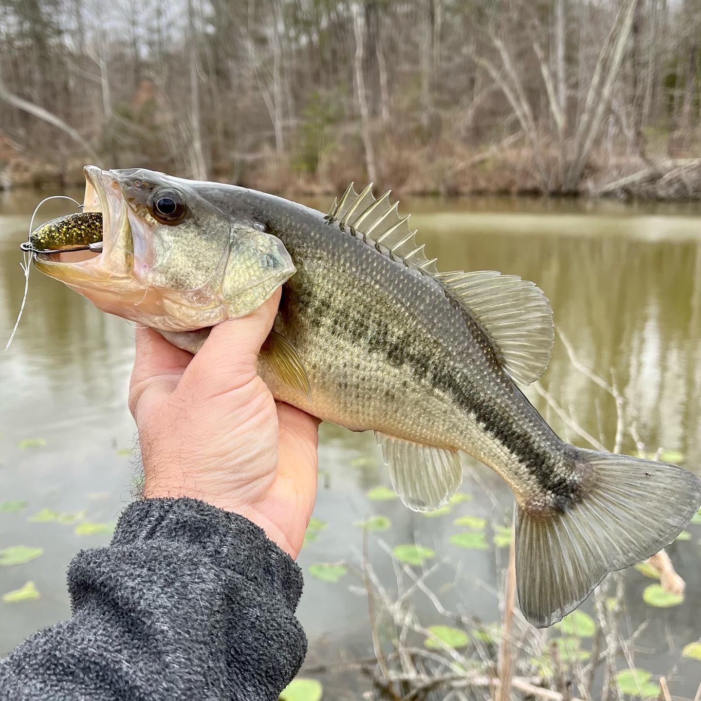
Think you’ve got what it takes to advise the State of Maryland on large and smallmouth bass conservation? The Maryland Department of Natural Resources is seeking new members for the department’s Black Bass Advisory Committee (BBAC). If you’re interested in bass conservation, consider applying for membership to the committee using the online application.
The BBAC advises the department on management actions and protection of largemouth bass and smallmouth bass fisheries. The committee meets virtually on a quarterly basis to discuss topics, develop recommendations, and report out to the Sport Fisheries Advisory Commission. For more information on the BBAC, please visit its website.
Explore New Monocacy Trails
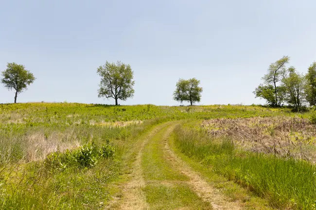
Head toward Frederick, Maryland, by month’s end to enjoy the new and improved trail system at Monocacy National Battlefields, which parallels a sizable portion of the Monocacy River. On August 25th at 10 a.m., the park will officially open two new trails and a revitalized trail system with a project orientation followed by park ranger-guided hikes. The National Park Service has been working all summer to improve almost eight miles of trails, and visitors can expect wider and safer trails; easier access with updated, accessible trail signs and trail markers; and over two miles of brand-new hikes to enjoy.
Monocacy National Battlefield trails provide access to the battlefield, the Monocacy River, a boardwalk through wetlands, upland forests, scenic views and a new overlook of the battlefield at Gambrill Mill. The network of trails at the park offers opportunities to hike, run, birdwatch, learn history, and simply enjoy nature. You might even have a shot at smallmouth bass in the river. Learn more at Monocacy’s NPS website. Photograph by NPS / Kelsey Graczyk.
Bay Watershed is Losing Tree Canopy
Time for another Chespeake Bay-related report. And though we’ve had a good run of several encouraging scientific reports released this summer, this one is of the negative variety. From the Chesapeake Bay Program:
Recent analysis of land use and land cover data from the Chesapeake Bay Program’s Very-High Resolution Land Use/Land Cover and Change Data show 1,927,940 acres (3,012.4 square miles) throughout the watershed are covered by impervious surfaces. This represents 4.75 percent of the entire land area of the Bay watershed (an area of approximately 40,546,643 acres, or 63,354 square miles). Impervious surfaces are considered to be any area that blocks the filtration of water.
These data were captured in 2017/2018 as part of the Very-High Resolution Land Use/Land Cover and Change Data project. This innovative technology also included an update to the previous high-resolution dataset from 2013/2014 and included a new data product that describes the changes in land use and land cover throughout the Chesapeake Bay watershed from 2013/2014 and 2017/2018.
When compared to previous data mapped in 2013/2014, impervious cover increased by 50,651 acres (79.1 square miles), which is an absolute increase of 0.12 percent as a percentage of land area. The fastest developing regions throughout the Chesapeake Bay watershed are the suburban areas surrounding Baltimore, Maryland, Harrisburg, Pennsylvania, Richmond, Virginia and Washington, D.C.
The Very-High Resolution Land Use/Land Cover and Change Data was also used to help understand the loss of tree canopy across the Chesapeake Bay region. While 8,307 acres of trees have been planted across the watershed between 2013/2014 and 2017/2018, over 25,000 acres of tree canopy has been lost in community areas (defined as municipalities, cities, towns, villages and boroughs by the U.S. Census). Learn more about this study and the implications of canopy loss at Chesapeake Bay Program.
Chesapeake Conservation & Climate Corps Introduced
This week, the Chesapeake Bay Trust introduced a new class of the Chesapeake Conservation and Climate Corps, the first since the expansion to include climate change work in the Corps. The Chesapeake Conservation and Climate Corps (the Corps), administered by the Chesapeake Bay Trust, empowers young people to serve their communities and gain real-world professional skills through one-year, stipend supported terms of service. Corps members are matched with non-profit and government host organizations and receive firsthand training on a wide variety of topics in the realms of climate, energy, watershed restoration, agriculture, forestry, and education.
This year’s cohort of 55 participants is the first since the program’s expansion to include climate work and since its official name change to the Chesapeake Conservation and Climate Corps. The Climate Solutions Now Act of 2022, passed by the Maryland General Assembly, provides the Corps with an additional $1.5 million per year starting with the 2023-2024 class. These funds will increase the cohort size, boost the stipend for Corps members, and expand the program’s scope to cover a wider range of climate topics. Learn more and meet each Corps member at Chesapeake Bay Trust here.
Last Cast…
A few final thoughts and words as we wrap up this week: (1) The menhaden purse seine net petition has to be one of the most significant steps taken in some time to hold Omega Protein accountable for thier actions, which have had devastating effects on Chesapeake Bay ecology. I encourage everyone to take a moment an comment on the provided comment form here. I did yesterday. It’s easy; (2) How are you fairing in the Bay-proper for species such as stripers, blues, and macks? Let me know by dropping an email with your report. I compile the intel weekly and I feel its important to track how and where (generally speaking) we’re catching the Chesapeake’s sportfish—the record is helpful to anglers, but also for getting a read on the Bay’s health overall. Email link is below.
And that’s a wrap for this week’s Creel. If you have news to share, please send an email to editor@reelchesapeake.com.

